
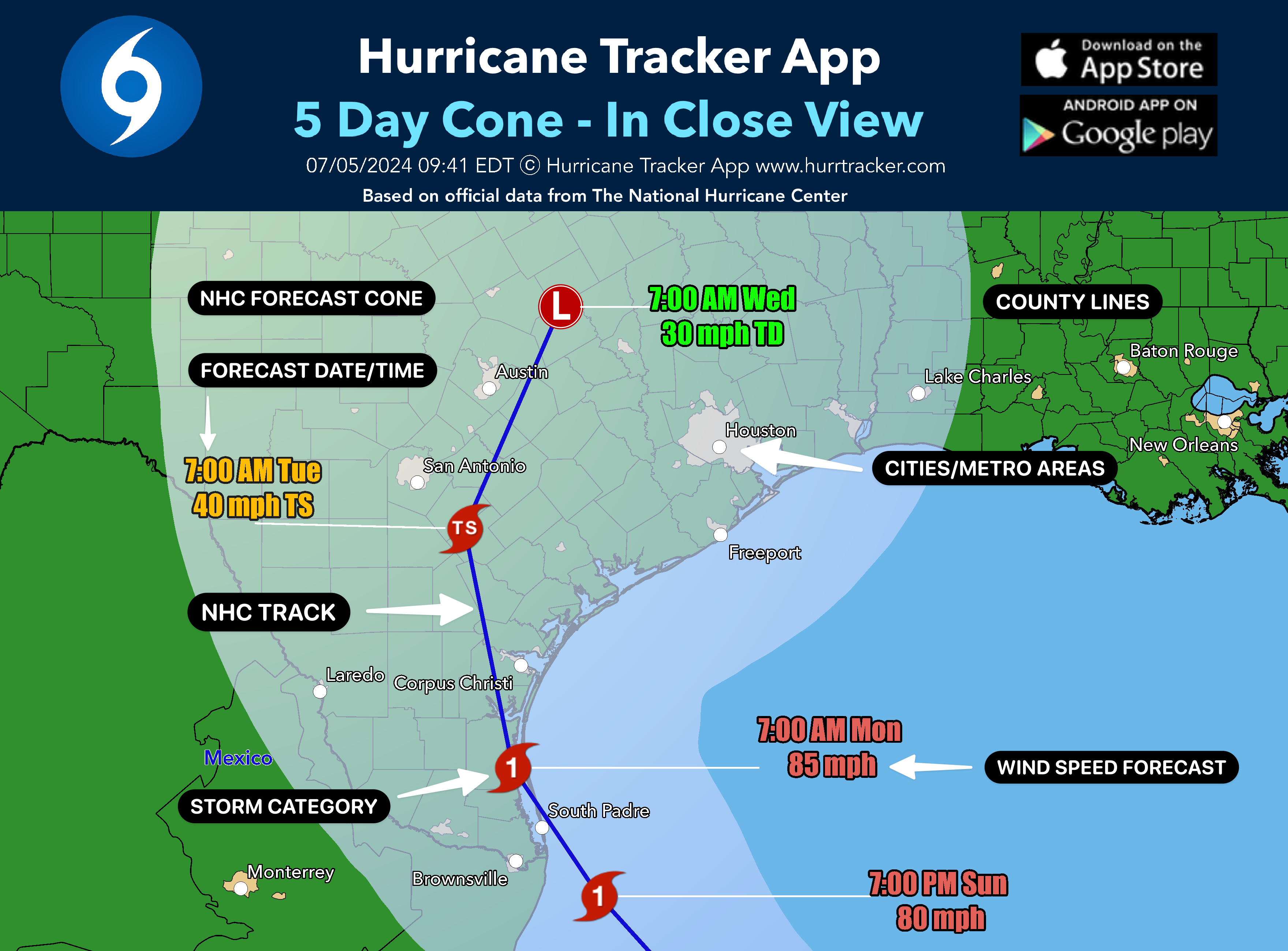
Tracking maps which are high resolution & include city, county and metro data. Premium users also unlock current, forecasted and past wind swath maps. Data is always based on the latest NHC full advisory package whch is issued every 6 hrs for active Atlantic storms that threaten land. Get more from your Hurricane Tracker App!
View All Sample Images
- Detailed NHC 5 day forecast track & cone
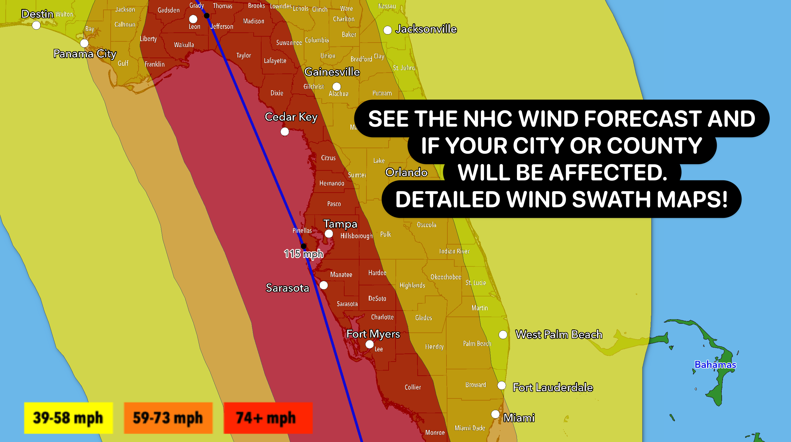
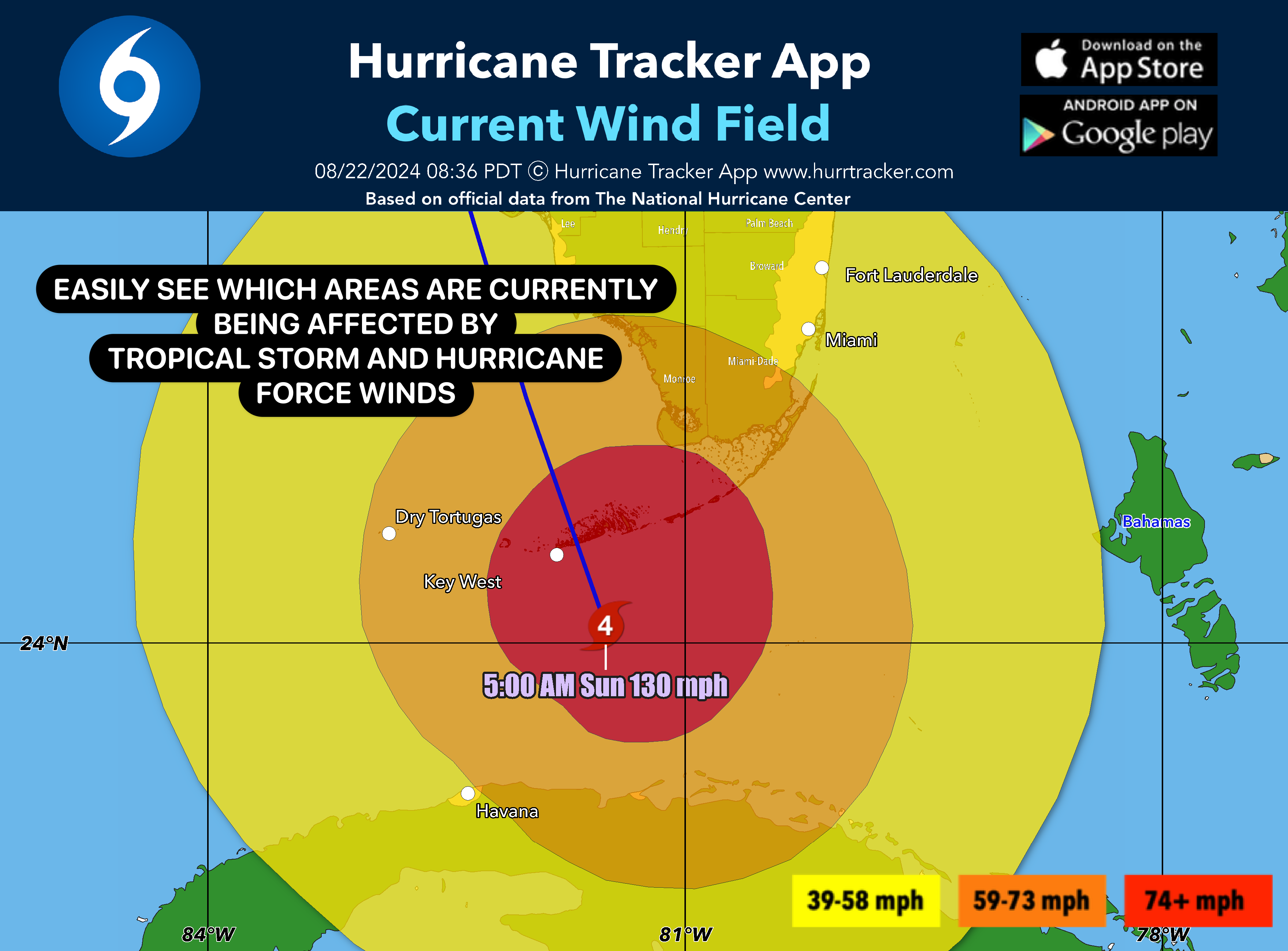
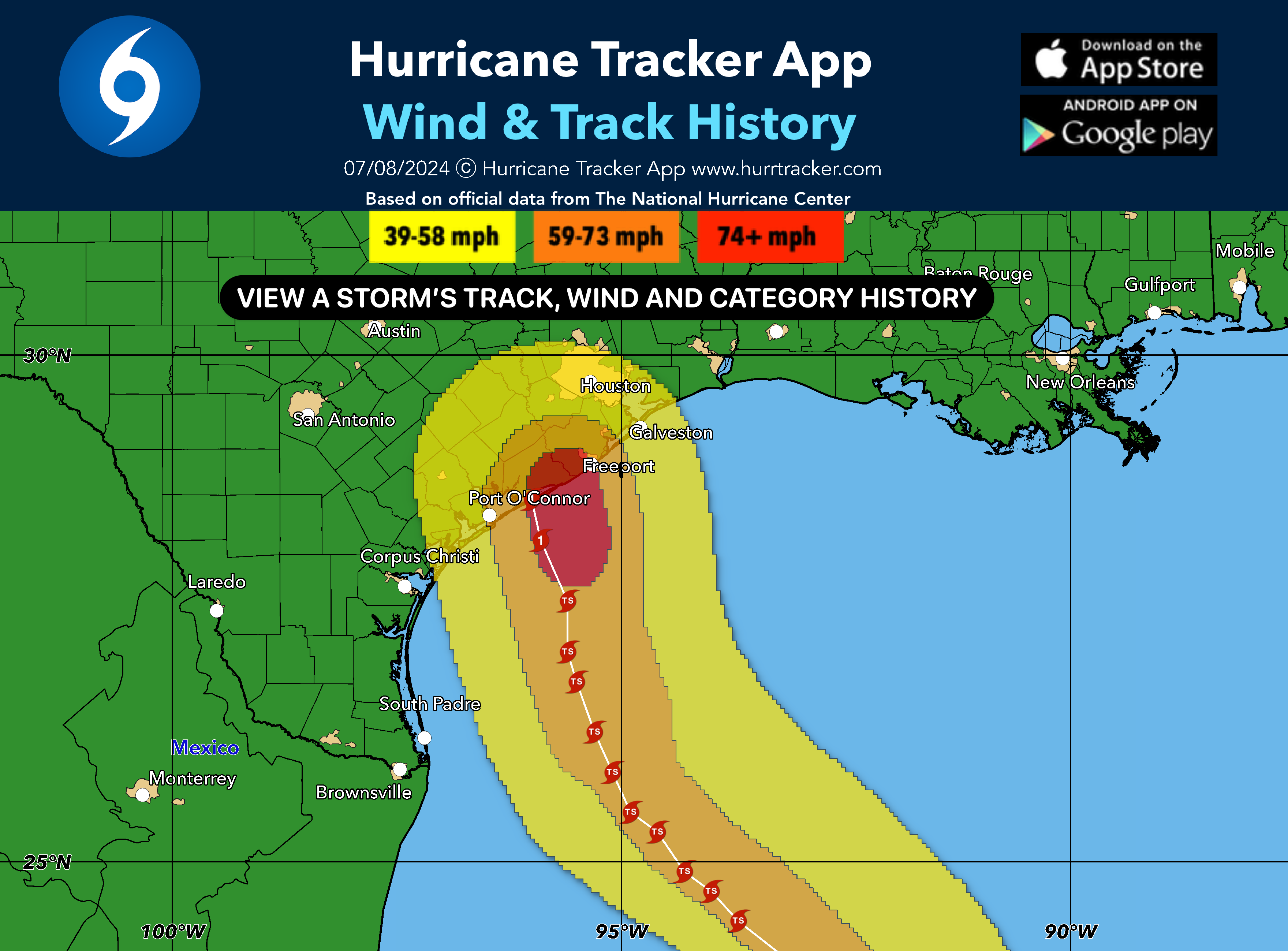
- Current & forecasted NHC wind swaths
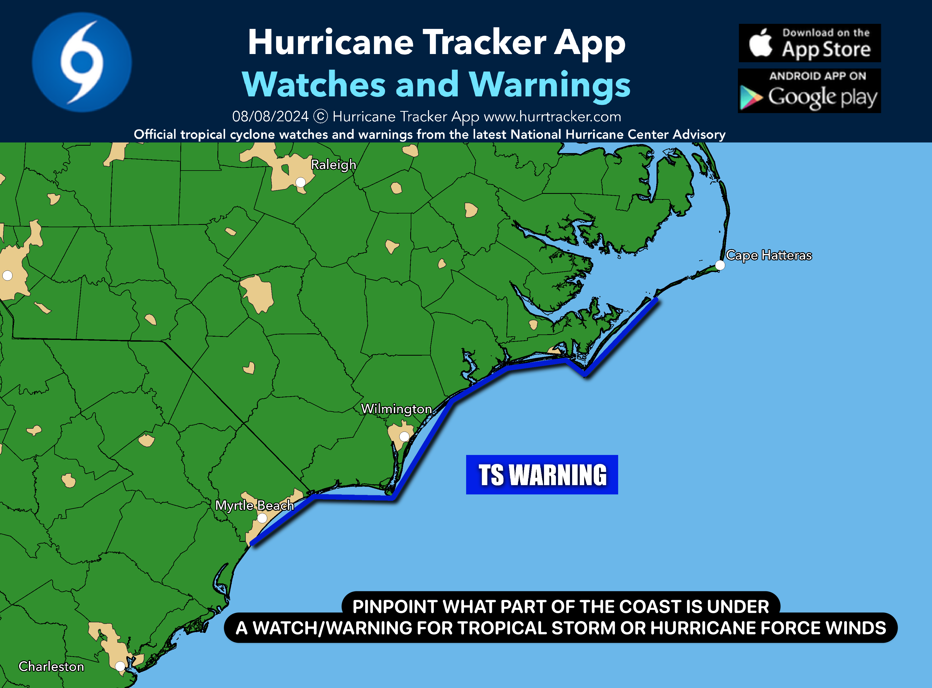
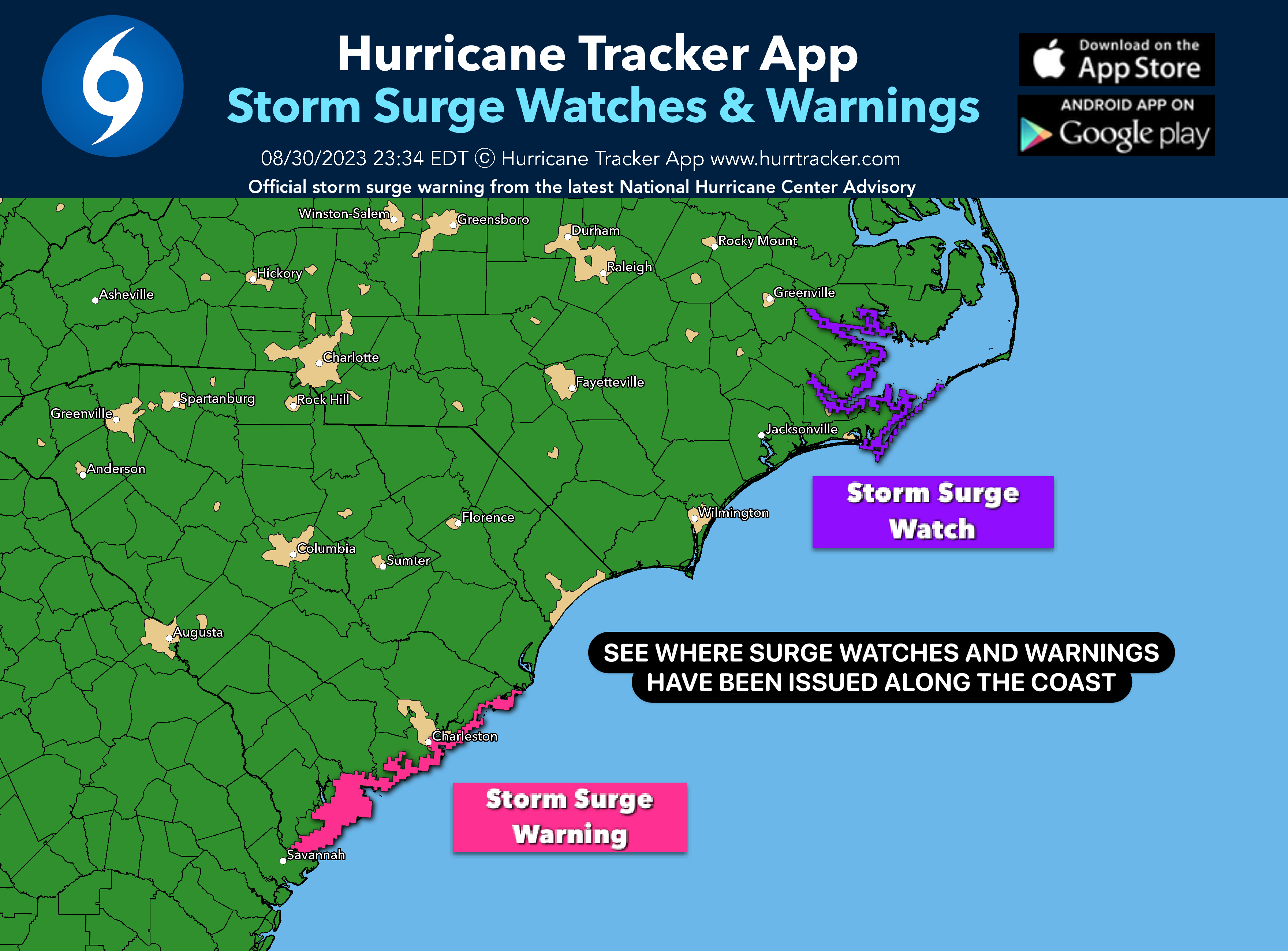
- Detailed watches & warnings graphic
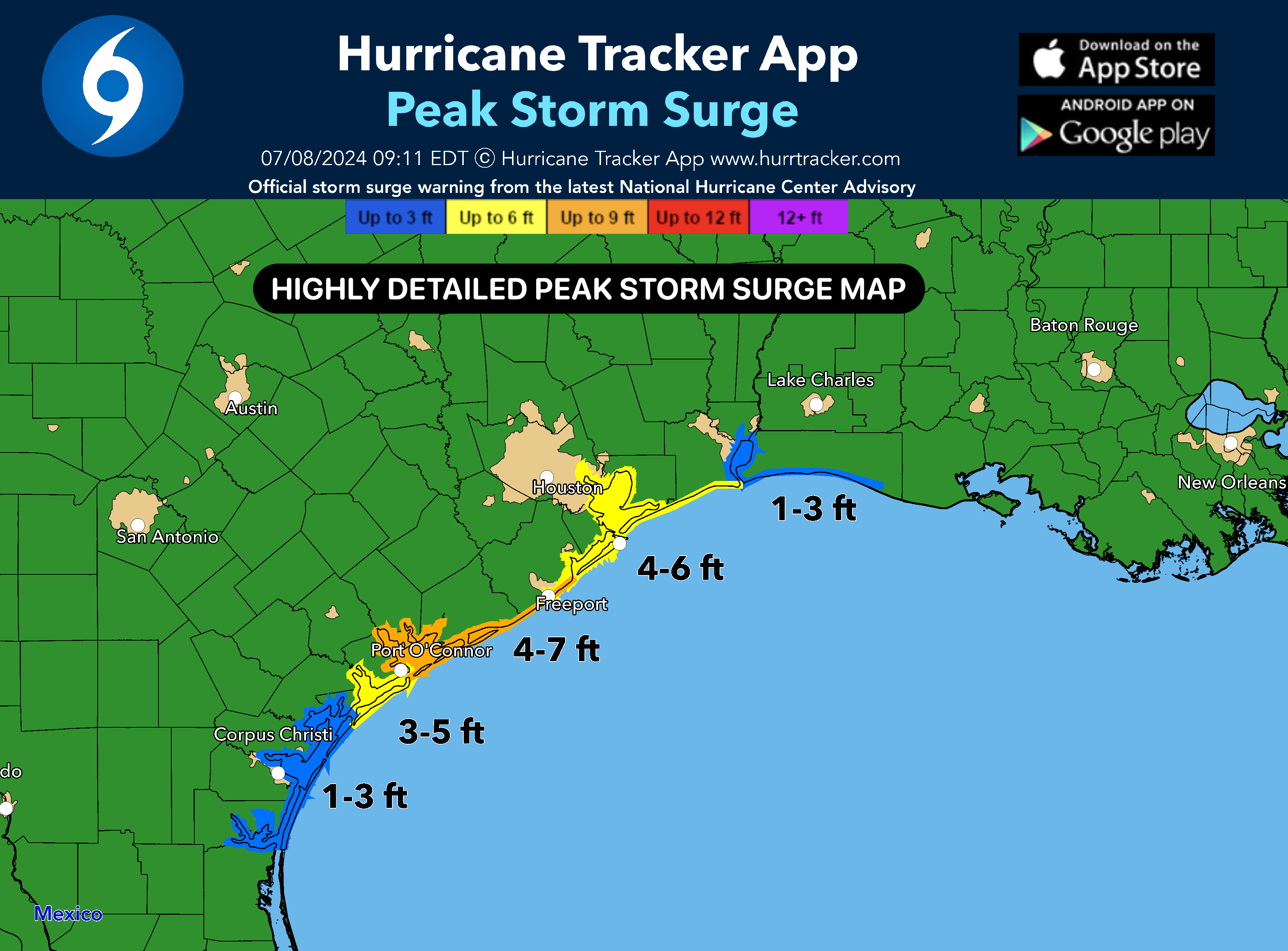
- Detailed storm surge watch & warnings graphics
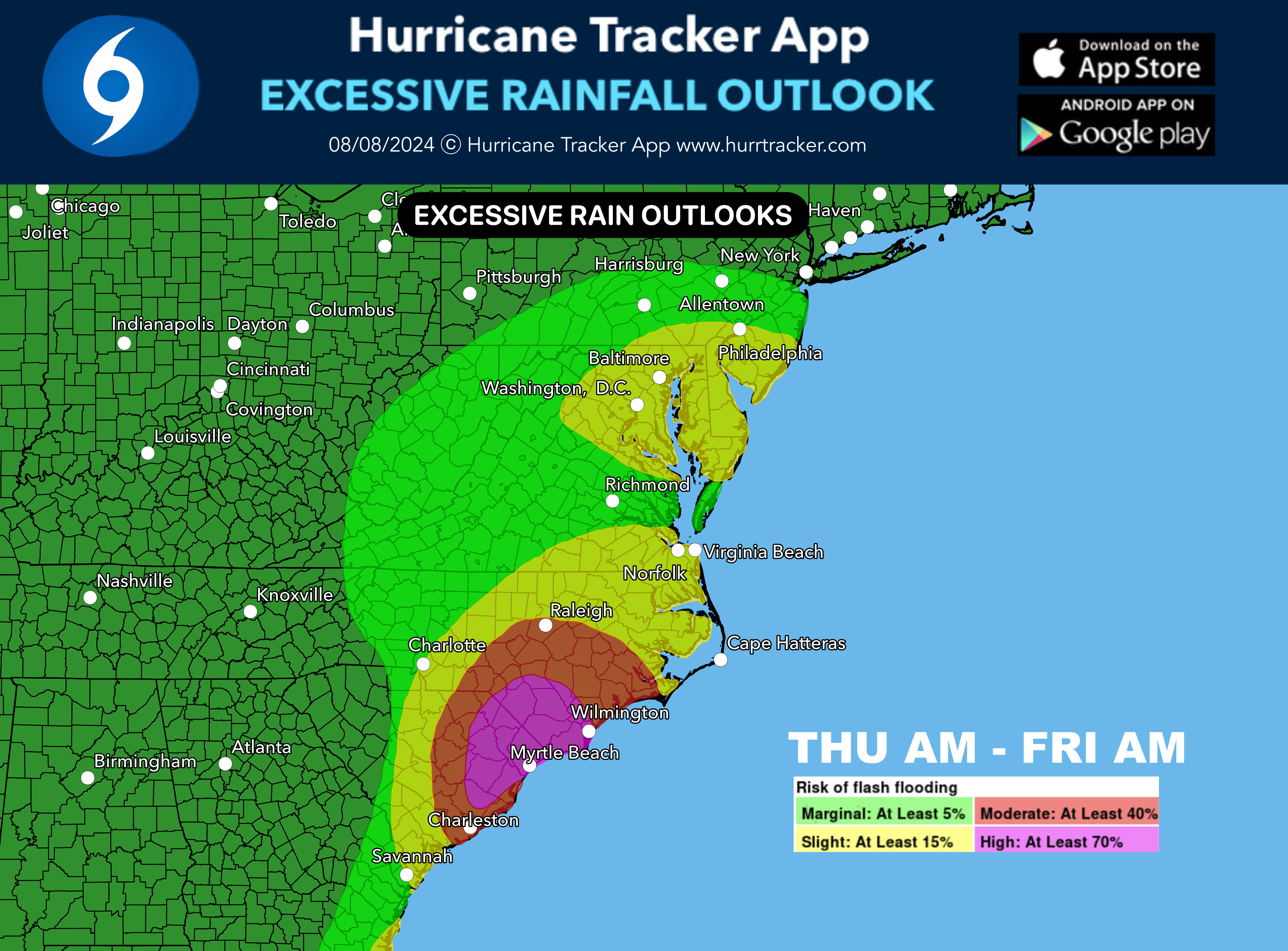
- Detailed rain forecast graphic
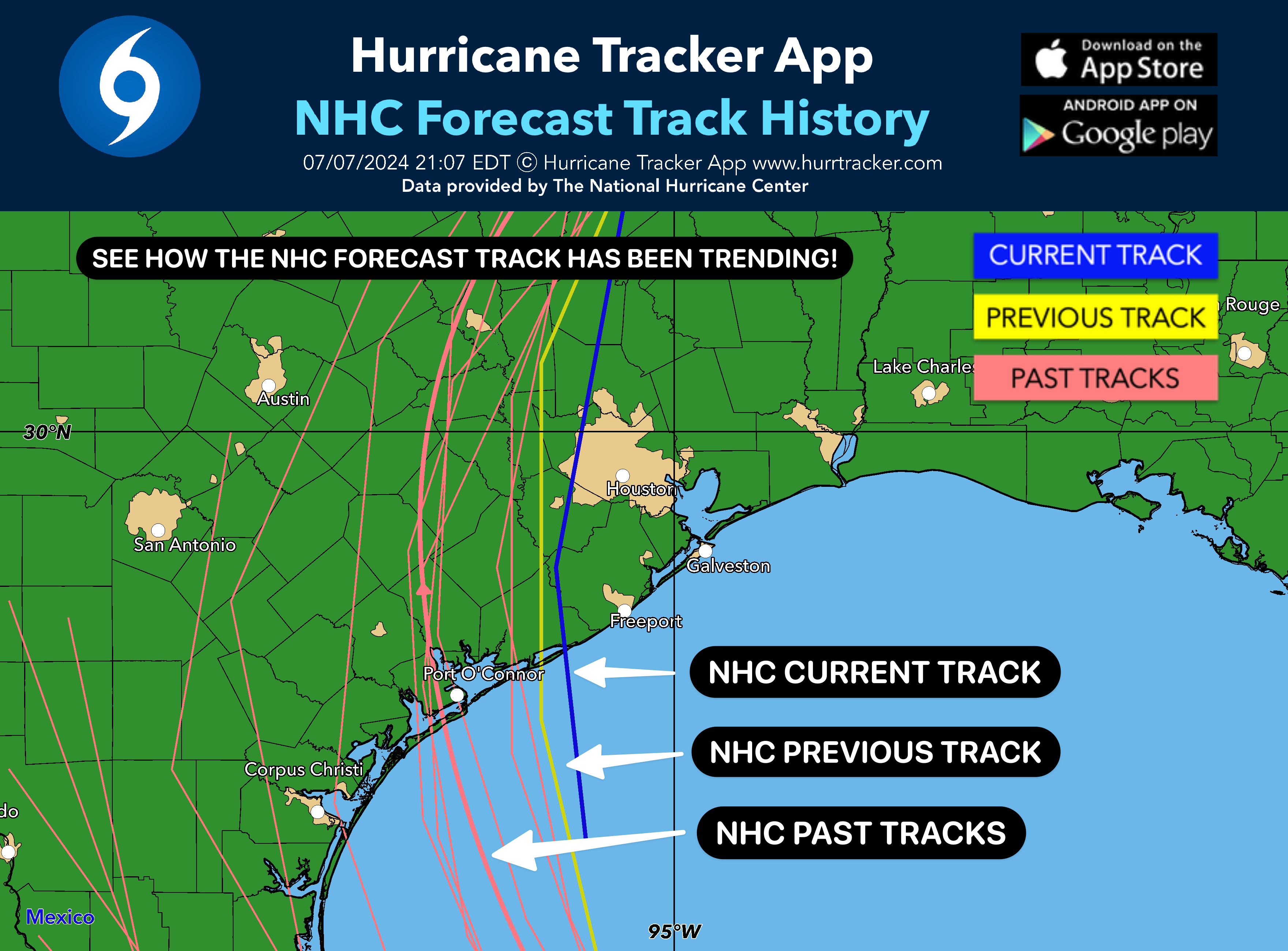
- NHC forecast track history to look for track update trends
- NHC wind history
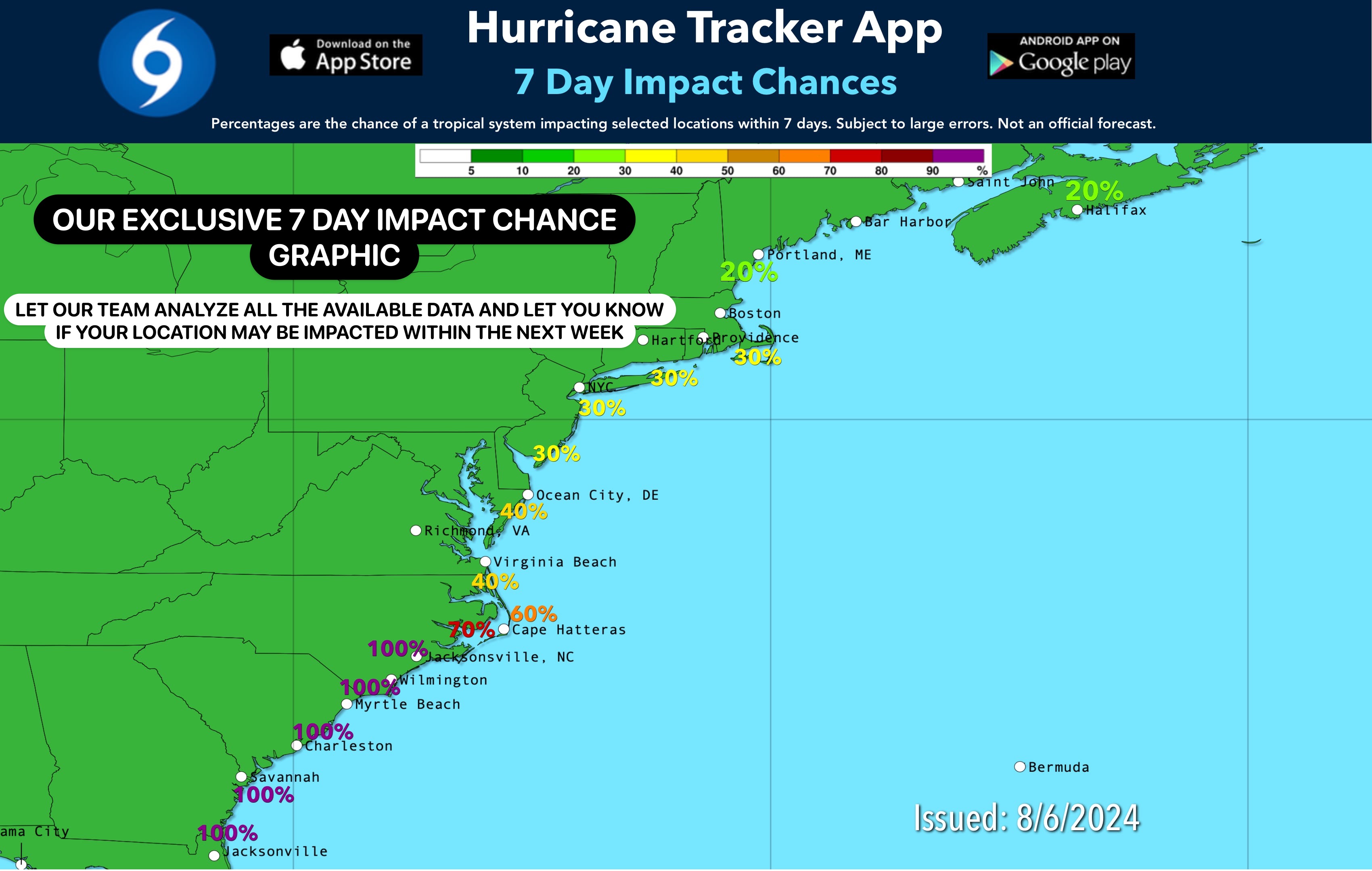
- Expected impact level
- 7 day potential cone for invests that threaten land
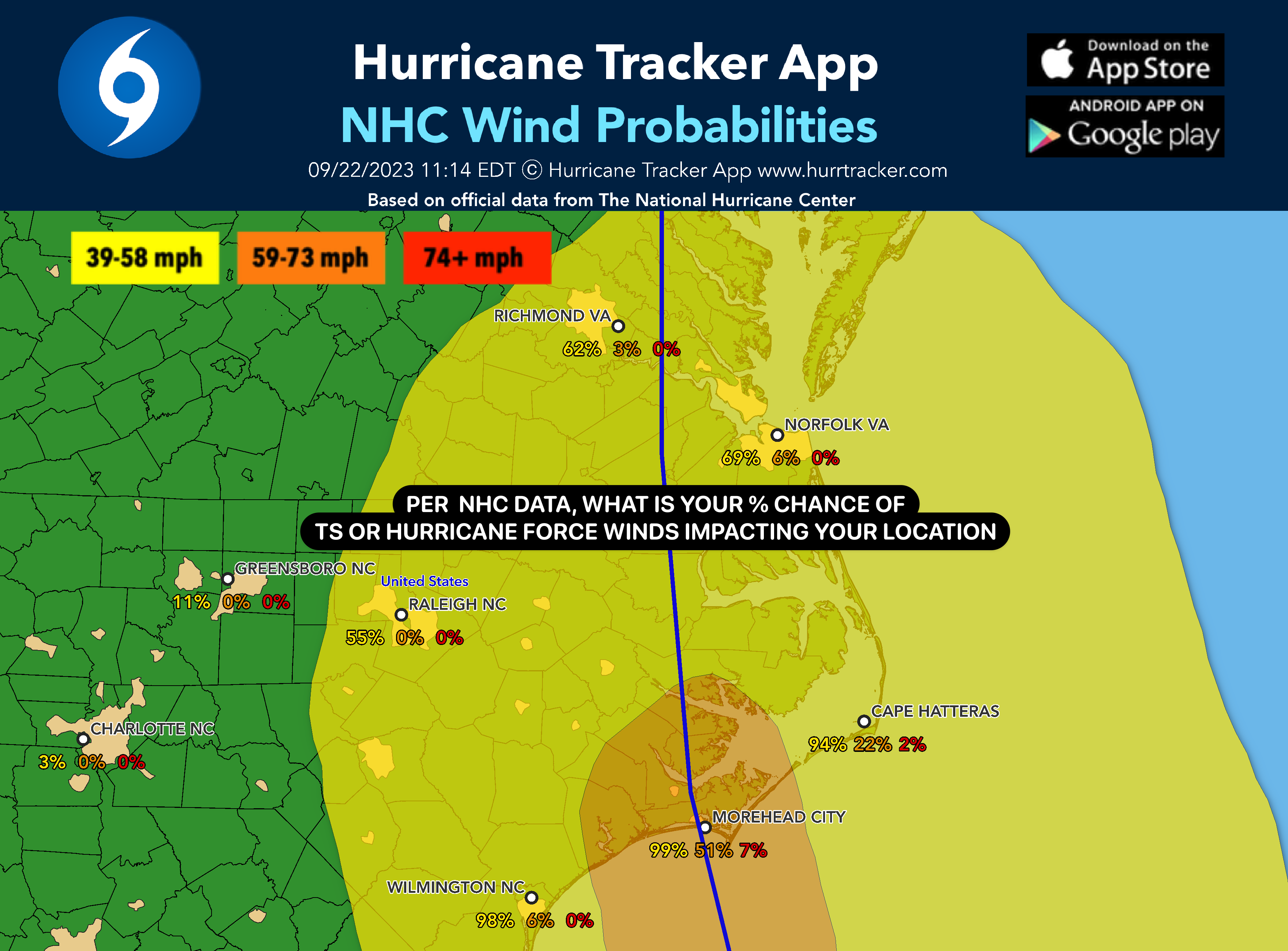
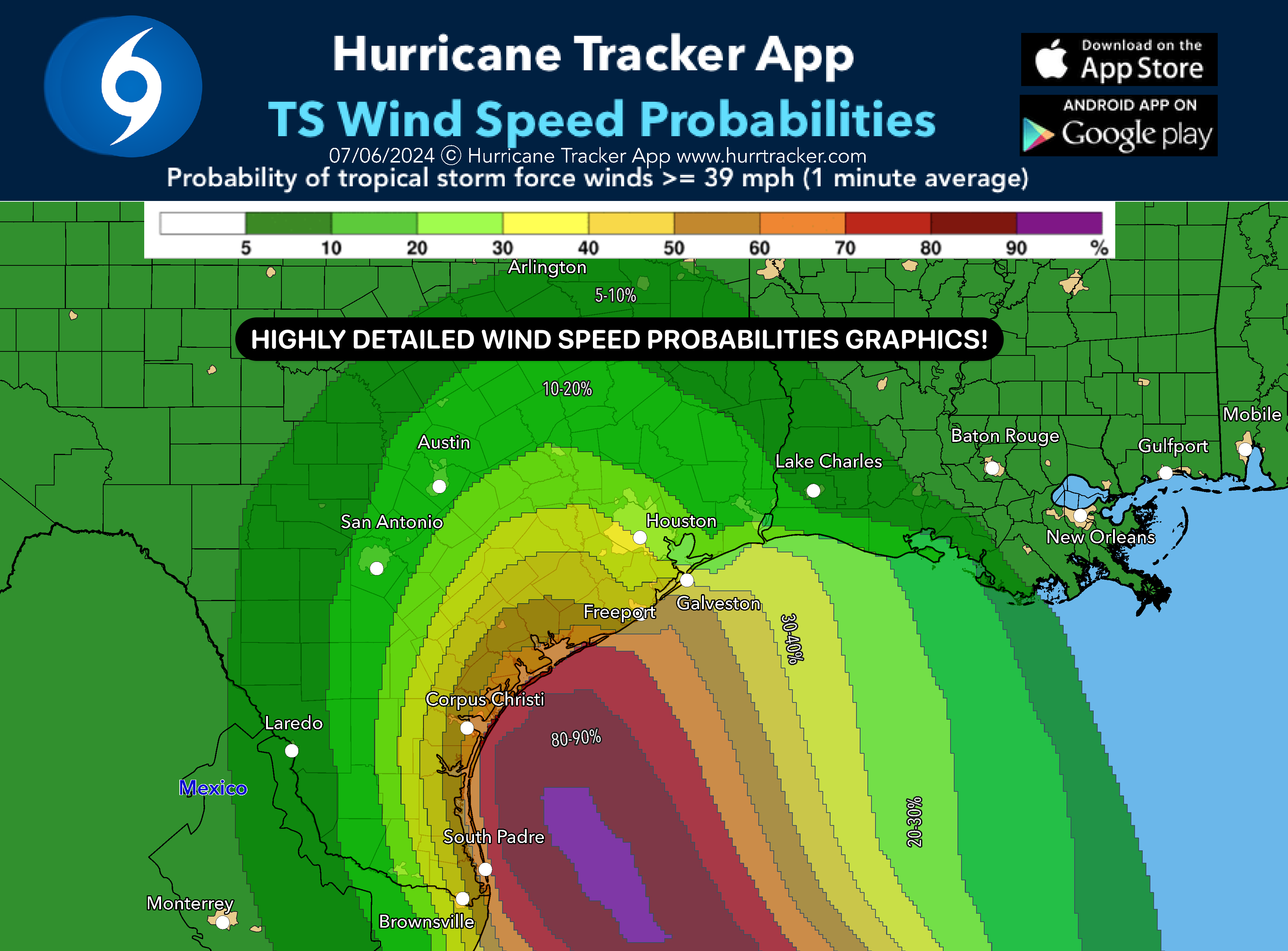
- NHC wind strike probabilties
- and more!
Copyright EZ Apps, Inc.
Hurricane Tracker App
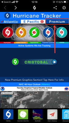
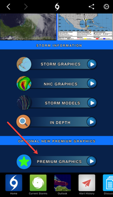
Once subscribed, log in from the home page or within a storm view. See below!
GO PREMIUM TODAY!
Includes cities/metro areas, counties, storm category, wind speed and wind swath maps! See deeper into the forecast!
CHOOSE OPTION BELOW

Subscribe
Forgot My Login
Login
EXAMPLE GRAPHICS BELOW ⬇